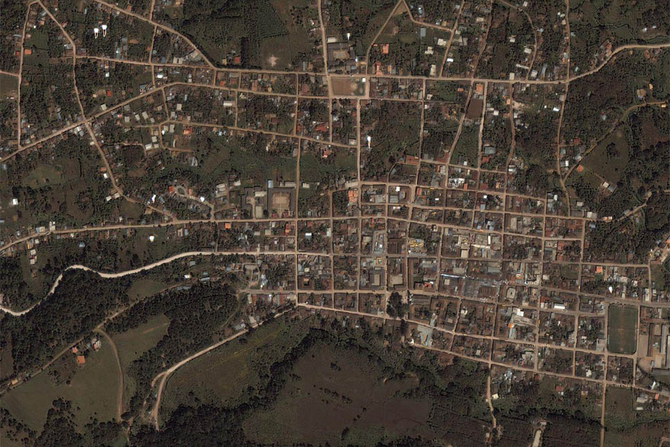
Honduras: a Google Maps survey
I think I might have been a bit too hard on Google Maps lately. I was researching satellite imagery of all the hot spots I’ve visited during my stay in Honduras, and I got to say the Google Maps imagery was way more satisfying than it’s Microsoft counterpart, Bing Maps. I know I’m not giving a lot of information right now, but I promise to come back at some point and give a good narrative for each map. I’m also going to save some of them as images eventually, just in case they update their imagery. Expect me to come back at my other Honduras blog posts and also spice them up with a few pictures we took during the trip!
La Esperanza: This village is where we had our homestays for most of the trip. It is located high up in the mountains in the department of Intibuca, and is one of the coldest cities of Honduras

Los Hoyos: On the plateau overlooking the valley of Azacualpa, there is an area where series of almost perfect cylindrical holes can be found on the ground. These holes have generated a series of theories, some of which are ridiculously extravangant. The most popular explanation seems to be in pre-Columbian obsidian mines, a theory which is supported by the abundance of obsidian in the area. Another theory points towards trenches used for protection during war times. Whatever the origin of said holes, they are unique formations that have not yet been properly studied.
The walk from La Esperanza to Los Hoyos takes approximately two hours and a half up the mountain. Seen in this satellite image is the roof of the Los Olivos Public School, pretty much in the middle of nowhere. The holes are found a few hundred meters north of the school in a patch of cloud forest.
El Lago de Chiligatoro: Our mission in Honduras consited of a building project for a poor local family. The father had apparently fallen in the Chiligatoro lake while intoxicated, drowning and leaving behind two very young sons with their mother and sisters. The tragedy, however sombre, did nothing to erase the beauty of the lake we passed afore every morning when we went to work. The mornings were very dry and cold, but the chilling winds soon turned into unbearable heat when the sun rose.
The new house we built:
The bus stop in Siguatepeque: The road between Tegucigalpa and San Pedro Sula forked west here in Siguatepeque, where merchants would harass the voyagers onboard while the bus made a brief halt. The transit system stopped right next to what I believe was a Texaco. The satellite images do nothing to show the incredible amount of mud one had to skip through to get to the other side of the road.
El lago de Yahoa: If someone finds a pair of black Diesel leather shoes around the east of Yahoa lake, they are probably mine. We walked up halfway to La Guama, where we managed to catch a bus to Peña Blanca, northwest of the lake. We stayed in a private hotel near D&D Brewery, just north of El Mochito.
Copan Ruinas & En La Manzana Verde:
The San Pedro Sula bus station:
The bridge in El Progreso:
The deteriorating warf in La Ceiba:
Hotel California, La Ceiba:
The two ferries leaving from La Ceiba:
Paradise Divers, Utila, Honduras:
Pumpkin Hill, Utila, Honduras:
